
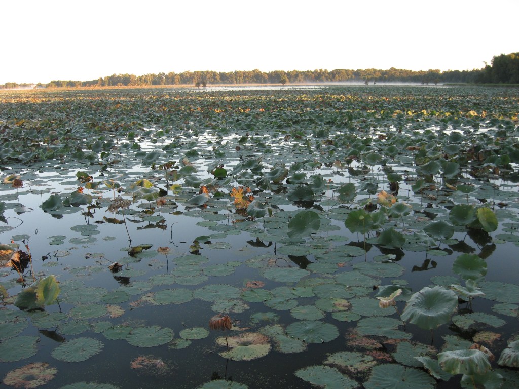
Most lakes in our part of the country were made by a dam and a bulldozer. Reelfoot Lake was made by the earth itself.
Between December 1811 and February 1812, a string of powerful earthquakes shook the New Madrid seismic zone. NASA’s Earth Observatory says three of them were stronger than magnitude 7. People reportedly felt the shaking as far away as Boston, Detroit and New Orleans.
The last big quake, on February 7, 1812, did the most to reshape our corner of the map. It temporarily rerouted the Mississippi, dammed the Reelfoot River for good, and sent water pouring into low ground that had just sunk. According to the U.S. Fish and Wildlife Service, an area up to 30 miles long and 10 miles wide dropped, drowning a forest and creating the lake we know today.
Did the river really run backward?
That is the story folks have told for two centuries. NASA’s take is that what people saw may have been huge waves from the quake rolling upstream, which would have looked like the river reversing. Either way, it must have been a terrifying sight.
A place for ducks, geese and anglers
Today Reelfoot is a fishing and birding favorite. Bald cypress trees grow in the shallows, and stumps from the old drowned forest still sit under the water, so watch your prop. The Reelfoot National Wildlife Refuge was set up in 1941 to protect habitat for migrating ducks and geese. It covers parts of Lake and Obion counties in Tennessee and reaches north into Fulton County, Kentucky.
Geologists still keep a close eye on the New Madrid zone, and some consider it the most hazardous earthquake area east of the Rockies. That is worth remembering when you put together a family emergency kit.
Got a favorite Reelfoot memory or fishing story? Send it to news@southwestky.com.
Sources: NASA Earth Observatory, U.S. Fish and Wildlife Service.
Photo: Reelfoot Lake near Samburg, Tenn. Mason Brock, public domain, via Wikimedia Commons.


Leave a Reply